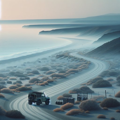
This gravel tour traces Namibia’s Skeleton Coast from Swakopmund to Terrace Bay and inland via the conservancies of Damaraland. It emphasizes tire deflation/inflation routines for salt and gravel surfaces, awareness of wildlife corridors around the Uniab and Hoanib Rivers, and strategies for the dense coastal fog driven by the Benguela Current. Expect long, empty stretches with no fuel, strict park rules, and changing surfaces that reward measured speeds and good margins. Plan for a mid-winter window (June–August) when temperatures are cool and fog is frequent, and build a self-sufficient kit: compressor, two spares, recovery boards, and printed permits and bookings.
The route works well as a three- to four-day loop. Start and end in Swakopmund, aim north along the C34 to the Skeleton Coast Park, then exit inland via Springbokwasser Gate for Palmwag or Khorixas. The stakes are simple: there is no public fuel once you leave Henties Bay; gates operate only in daylight; and the coast’s fog can collapse visibility without warning. A 4x4 with all-terrain tires, a plug-in compressor, a reliable pressure gauge, and at least 600 km fuel range keeps the itinerary conservative.
Permits are required for Cape Cross Seal Reserve and for Skeleton Coast Park; obtain park permits at Ugabmund or Springbokwasser gates, and secure any overnight bookings (Terrace Bay with Namibia Wildlife Resorts; Torra Bay is usually open only December–January). Mobile signal is intermittent. Stay on marked roads in the park; beach and off-track driving are prohibited. Day 1: Swakopmund to Henties Bay (~70 km), Cape Cross detour (~55 km each way), then north through Ugabmund Gate into the park.
The C34 south of Henties is a compacted salt/gravel “salt road”—smooth but very slippery when wet. Deflate from highway pressures to about 1.8–2.0 bar (26–29 psi) cold for loaded SUVs; lighter vehicles can sit near 1.6–1.8 bar (23–26 psi). This softens corrugations and reduces stone damage. Cruise 70–80 km/h if visibility allows.
Expect morning fog from May to September; use low beams/fog lights, not high beams, and increase following distances. Cape Cross opens in daylight hours and hosts tens of thousands of seals; brown hyenas and black-backed jackals often patrol, so keep food sealed and give animals space. From Henties to Ugabmund Gate is roughly 40–50 km. Present your permit and continue to Torra Bay (~110 km) and Terrace Bay (~55 km further).
There is no public fuel beyond Henties; carry enough for at least 400–500 km. Speed enforcement is rare but the risk is wildlife and sudden washouts, especially near dry river crossings. If you find deep corrugations or short sandy stretches near river mouths, drop a further 0.2–0.3 bar (3–5 psi) temporarily to maintain traction without spinning. Do not drop below ~1.2–1.4 bar (17–20 psi) unless you are in soft sand and understand recovery; re-inflate as soon as you regain firmer surface to keep heat in check.
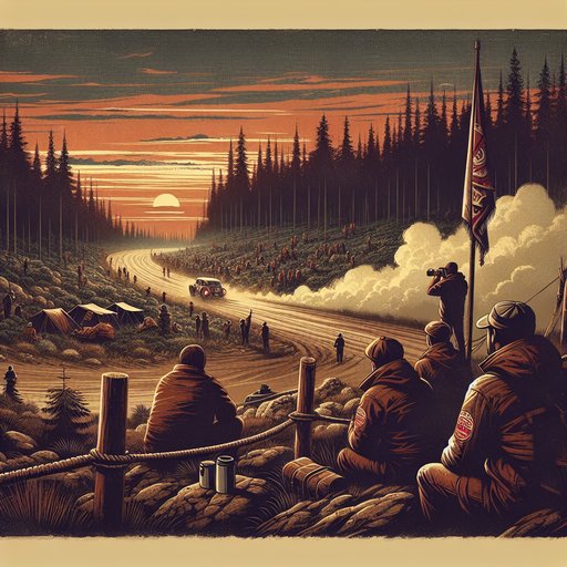
Day 2: Explore the northern park section in daylight, then exit inland. The Uniab River viewpoint near Terrace Bay offers a clear look at an ephemeral river corridor—prime habitat for oryx, springbok, ostrich, and predators following the coast. Stay on the road; off-road travel is illegal inside the park. Exit via Springbokwasser Gate to the C39 and head to Palmwag (~120–160 km depending on lodge/camp) or continue toward Khorixas (~220–260 km).
Outside the park, the broader Palmwag/Torra Conservancy and, farther northwest, the Hoanib River valley support desert-adapted elephants and, occasionally, lions. If you plan to drive the Hoanib or other riverbeds, use a guide or local operator from Sesfontein or Palmwag; soft sand, hidden clay pans, and roaming wildlife raise the risk profile. Before faster inland gravel, re-inflate toward 2.0–2.2 bar (29–32 psi); if transitioning to tar (C35/C36), return to placard highway pressures (often 2.2–2.4 bar/32–35 psi) when tires are cool. Fog and coastal driving advisories: Advection fog is common year-round and most frequent in winter mornings; banks can extend 20–80 km inland.
In fog, slow to 40–60 km/h, use low-beam headlights and front/rear fog lights if fitted, and avoid sudden braking on salt sections where moisture lengthens stopping distances. Keep left (Namibia drives on the left), avoid the marbly outer edge of gravel crowns, and use designated pull-offs rather than soft shoulders. Set waypoints for Henties Bay, Ugabmund, Torra Bay, and Terrace Bay; GPS helps when landmarks vanish. Re-check pressures at lunch as ambient temperature and load change; hot tires climb ~0.2–0.3 bar (3–5 psi), which is normal—adjust only when cold.
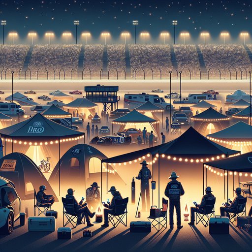
Wildlife etiquette and zones: Expect seals and opportunistic scavengers at Cape Cross; oryx, springbok, and ostrich along the C34; and increased predator/scavenger activity near river mouths. Inland conservancies (Torra, Palmwag) and the Hoanib/Uniab systems are elephant and lion country—stay in your vehicle, give elephants at least 100 meters, and never block a riverbed exit route. Night driving is strongly discouraged due to fog and wildlife. The rhythm that makes this trip work is simple: deflate early, drive unhurried, and re-inflate before speed or heat; treat fog as a moving gate; and respect river corridors as living highways.
With permits squared, fuel margins wide, and a calm schedule, the Skeleton Coast’s gravel becomes less a risk and more a clear, stark line through one of Africa’s strangest and most beautiful shores.